AIRBORNE HYPERSPECTRAL IMAGING SOLUTIONS FOR UAVs AND MANNED AIRCRAFT FOR PRECISION REMOTE SENSING
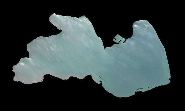
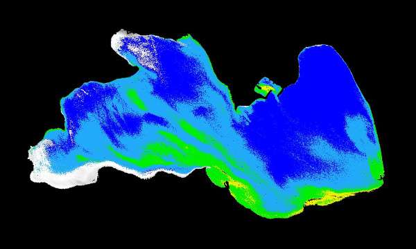
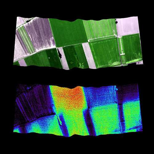
Airborne hyperspectral imaging, also called as remote sensing, captures both spectral and spatial information as the sensor moves through flight paths. The result is a georeferenced hyperspectral data cube ready for analysis—covering entire landscapes with pixel-level chemical detail. High-resolution airborne hyperspectral data enables efficient large-scale mapping, environmental monitoring, and precision agriculture.

BENEFITS OF AIRBORNE HYPERSPECTRAL IMAGING
Airborne hyperspectral imaging uses drones or aircraft to capture detailed spectral information from the ground. By recording hundreds of narrow wavelengths for every pixel, it creates a “spectral fingerprint” of materials allowing to identify vegetation types, minerals, water quality, and other features that standard cameras cannot see. With airborne deployment on drones or aircraft, hyperspectral imaging enables:
SPECIM SOLUTIONS FOR UAV AND AIRBORNE HYPERSPECTRAL IMAGING:


AIRBORNE HYPERSPECTRAL IMAGING APPLICATIONS
Airborne hyperspectral imaging supports a wide range of professional remote sensing applications. From monitoring crop stress before it becomes visible to mapping vegetation species, detecting pollution events, or supporting geological surveys, airborne HSI provides the actionable information needed for confident decision-making.


WHY CHOOSE SPECIM
Specim has decades of experience in hyperspectral imaging, supporting demanding airborne remote sensing projects across agriculture, environment, forestry, and geology. Whether you need a ready-to-fly UAV solution or high-performance sensors for your aircraft, Specim provides reliable and precise airborne HSI systems.
Specim provides:

Ready to elevate your remote sensing capabilities?
Experience how airborne hyperspectral imaging delivers chemical-level insights from UAVs and manned aircraft.