
Free Download:
The Top 10 Questions About Airborne Hyperspectral Imaging Using UAVs
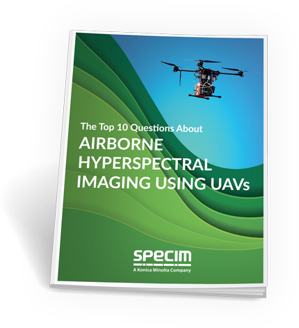
DOWNLOAD THE REPORT AND GET ANSWERS TO QUESTIONS SUCH AS:


ABOUT THE AUTHOR
Petri Nygrén,
Spectral Mapping Services SMAPS Oy
Generalist with a hyperspectral specialty. Deep into LiDAR and medium/large format frame mapping cameras as well. Five decades of insight from the geomatics projects on land and in the air in 40 countries. A former Specim Oy Ltd’s airborne hyperspectral product line manager, including R&D, production, test flights, support, marketing, and sales. Long career on both sides of the service provider/sensor manufacturer fence. Understands you, The Client!